Indian Creek Aerial Photographs
Aerial Video Clip of Indian Creek shot by Jim Kellenberger May 2020
These photographs were taken in spring, 2006, by Indian Creek resident, Jim Kellenberger.
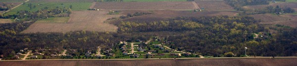
Indian Creek from the west.
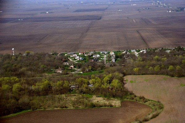
Indian Creek from the east, looking west.
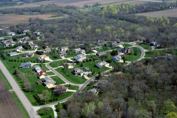
The west side of Indian Creek
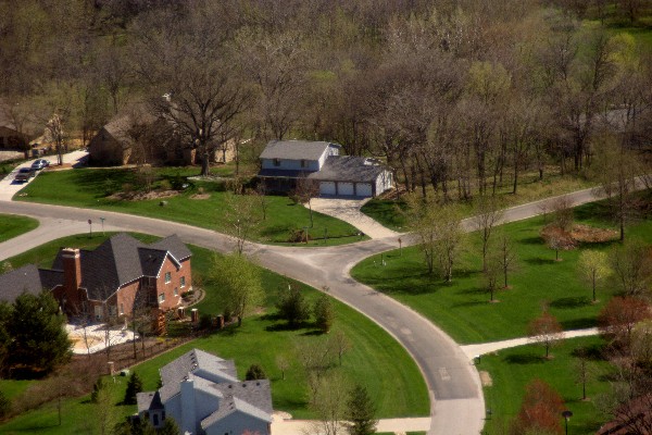
Corner of Candle Ridge and Eastwood
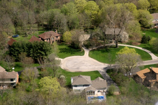
Candle Ridge
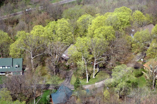
Eastwood Court
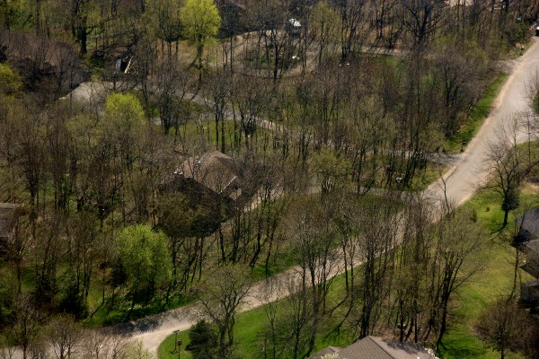
Bent Tree Lane
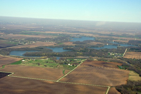
Lake Bloomington
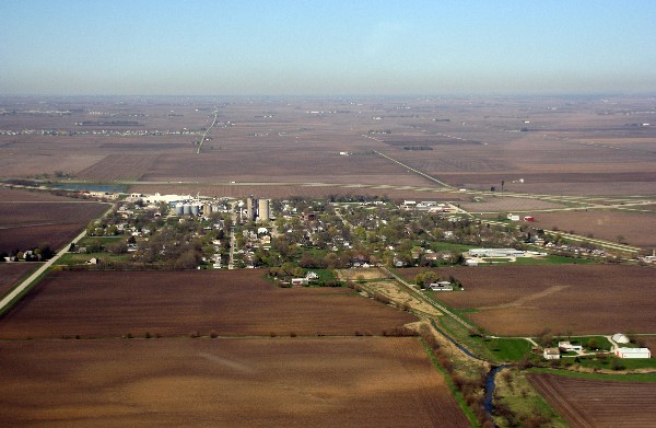
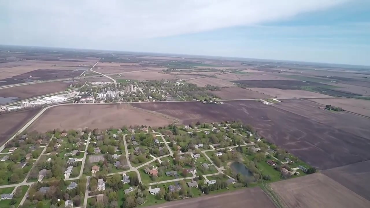
The town of Towanda, from the east, looking west.
This stretch of Route 55 is running practically north and south at this
point.
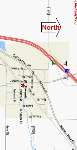
This is the approximate view of the photo above.