Indian Creek Nature Area
On this page:
. History
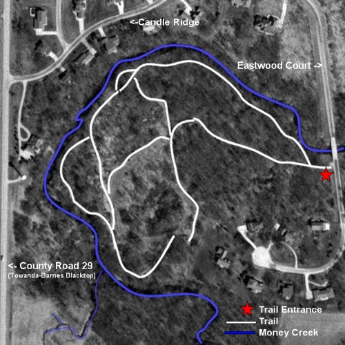
. Trail Map
. Photos
History (by Faith Russell)
The Indian Creek subdivision is a 160 acre parcel, subdivided in the late 70's. Due to the creek, a large portion of the land was identified as flood plain, and thereby unusable for home construction. The developers used all of the available "high spots" as building lots, with the remaining bottom land, about 60 acres, to be used in common by the homeowners.
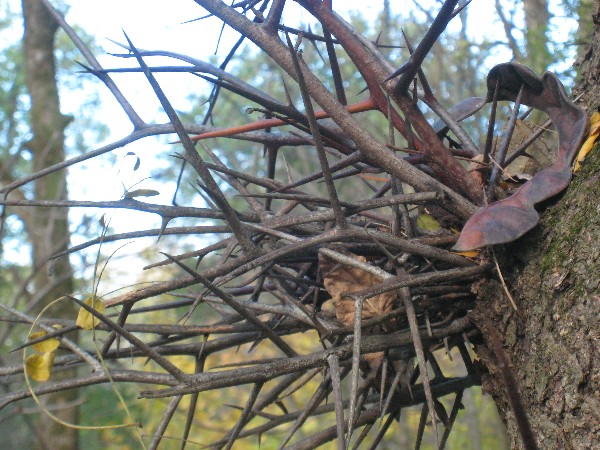
Originally this common area was used as pasture on the Eastwood family farm. Family and friends often used the areas east of the Eastwood Court to camp, fording the creek at a shallow spot just east and a little south of the water tower. Cattle chewed off most new growth of good trees, leaving the thorny honey locust, hawthorn, buckeye, osage orange, and tons of multiflora rose. Once the cattle were removed, the mutiflora quickly took over all available open space. By 1986, some areas were solid rose, up to 8 feet high.
In 1987, some association homeowners began working with the state forestry division to reclaim the common areas. They found an area contractor who had equipment to deal with the mutiflora and paid him $3000 to chop (mow) all of the open areas. Subdivision volunteers worked to lay out a grid for new tree plantings, and one Saturday Illinois State University and Illinois Wesleyan University Key Clubs planted over 6000 free tree seedlings including red oak, white pine, black cherry, and sugar maple. Once the mutiflora was down, homeowners used an old Ford tractor with a mower to maintain the roadsides and the original trails. Today, neighborhood volunteers continue to maintain and improve these areas.
The Indian Creek common area is a unique neighborhood asset. Home to a variety of birds, deer, wildflowers, berry bushes, and senior trees such as burr oaks, red oaks, walnut, and hickory, it provides a welcome respite for neighborhood nature lovers. Its various trails lead to wooded areas, benches along the creek, or open meadow. Neighbors are always welcome to appreciate and care for our common nature area.Trail Map
The outer perimeter route (from the gate take the creek trail all the way around to the burn
pile and then the well head trail back to the gate) is 4,138 feet or approximately 4/5 of a mile.
The inner perimeter route (from the well power pole around the circumference of the open meadow is 1,358 feet or approximately 1/4 mile.
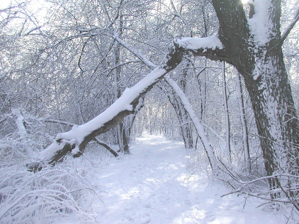
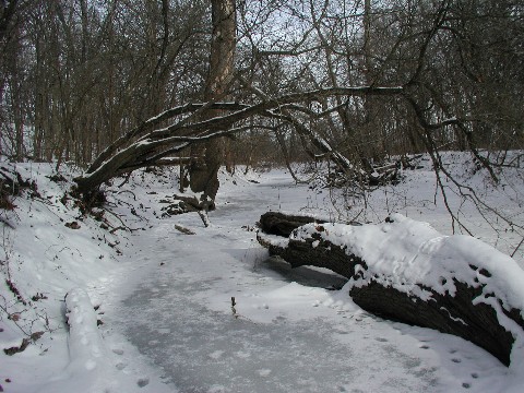
Trail in Winter.
Photo by Helen Mogill
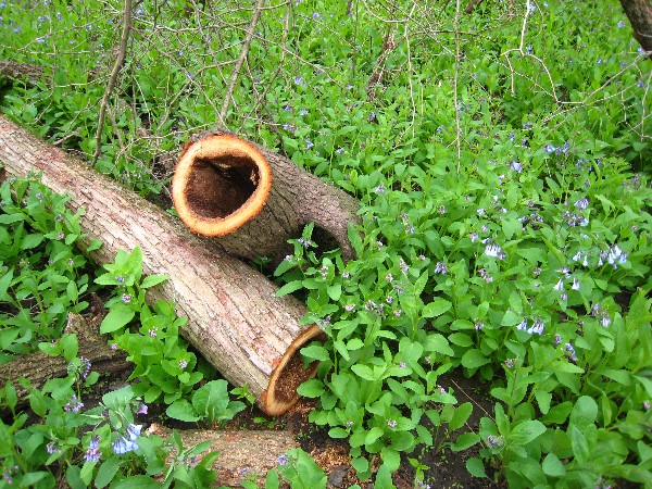
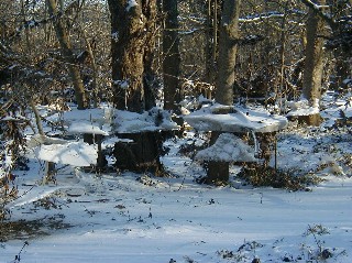
Hollow Logs, 2008. Photo by Helen Mogill.
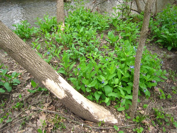
Beaver Damage, 2008. Photo by Helen Mogill.
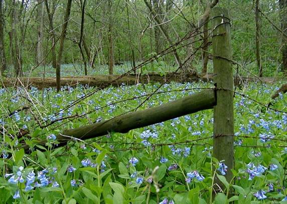
Bluebells in springtime by a remnant of the old farm.
Photo by Jim Russell
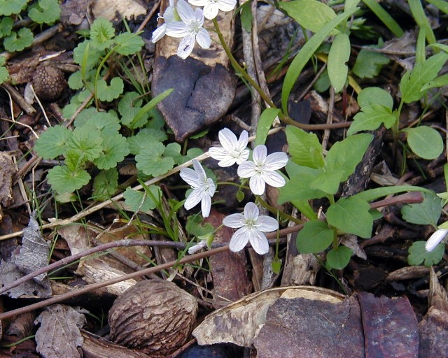
Spring Beauties one of the first sign of Spring.
Photo by Jim Russell
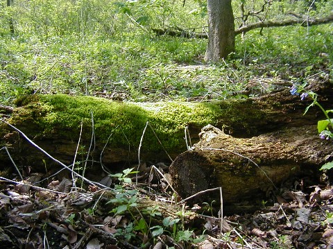
Moss on logs Natures recycling.
Photo by Jim Russell
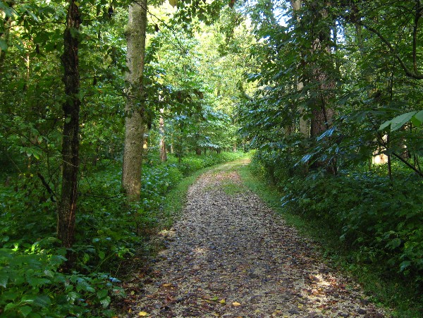
Main trail in summer, near the entrance to the Indian Creek Nature Trail, 2008
Photo by Helen Mogill
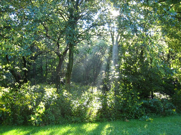
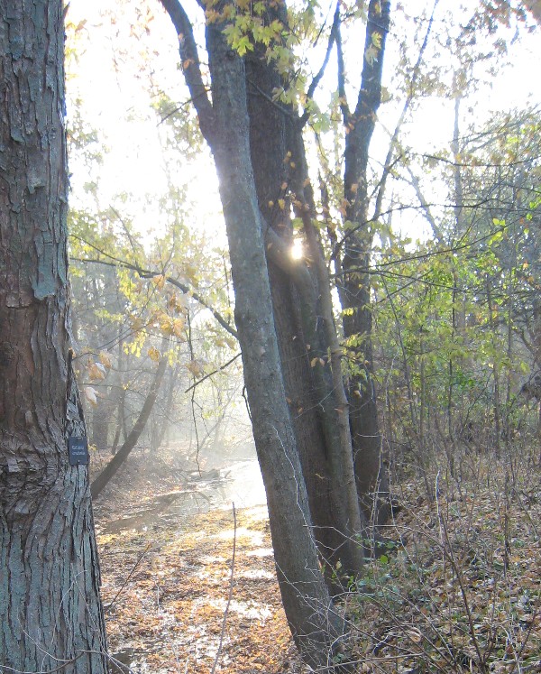
Sun through trees, 2008
Photo by Helen Mogill
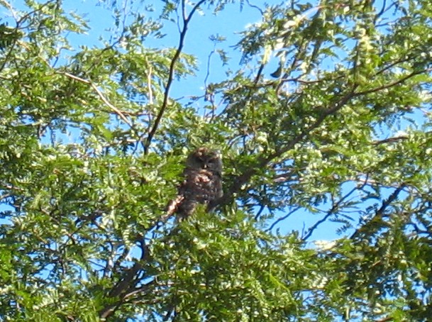
Owl in Tree Canopy, 2008
Photo by Helen Mogill
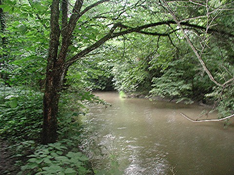
Indian Creek
Photo by Helen Mogill
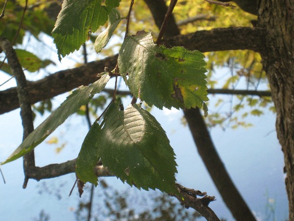
Elm Leaves with creek and its reflections behind them.
Photo by Helen Mogill
Autumn Dawn.
Photo by Helen Mogill
Thorns on a Honey Locust.
Photo by Helen Mogill
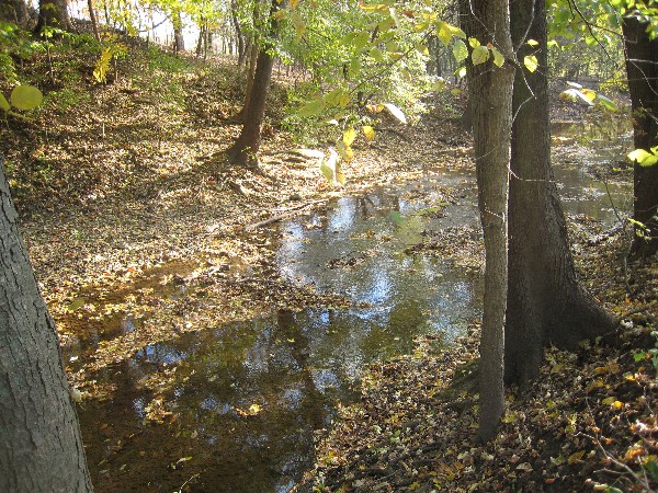
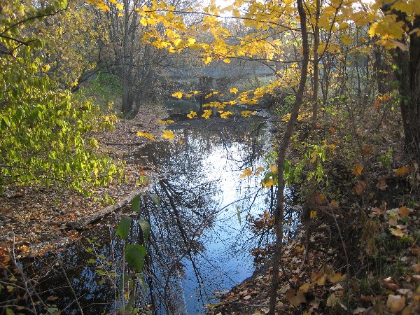
The Creek in Fall.
Photo by Helen Mogill
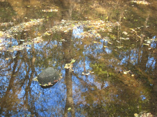
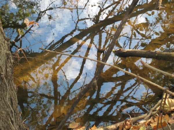
Reflections.
Photo by Helen Mogill
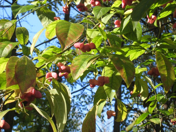
Wahoo Tree.
Photo by Helen Mogill
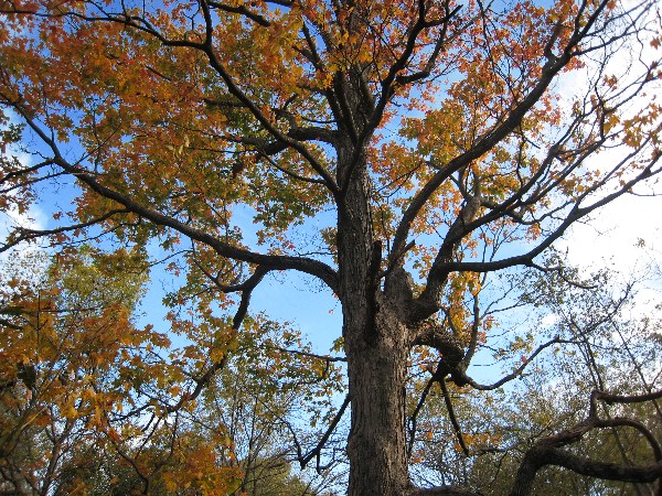
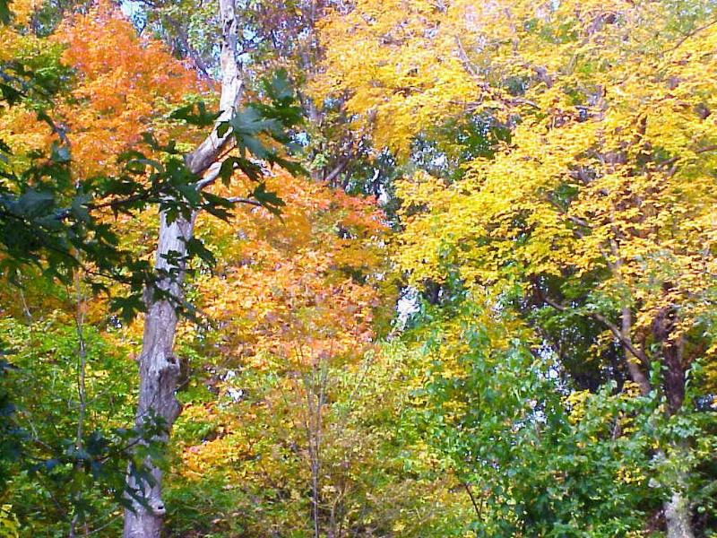
Maple Tree in Fall.
Photo by Helen Mogill
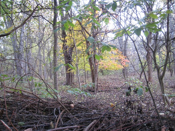
The woods on an overcast day in fall.
Photo by Helen Mogill
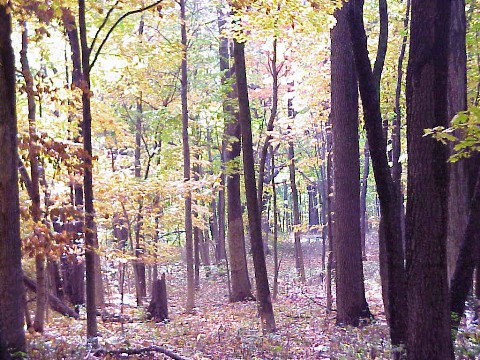
Sunny Grove in Fall.
Photo by Helen Mogill
Autumn Tree Canopy
Photo by Helen Mogill
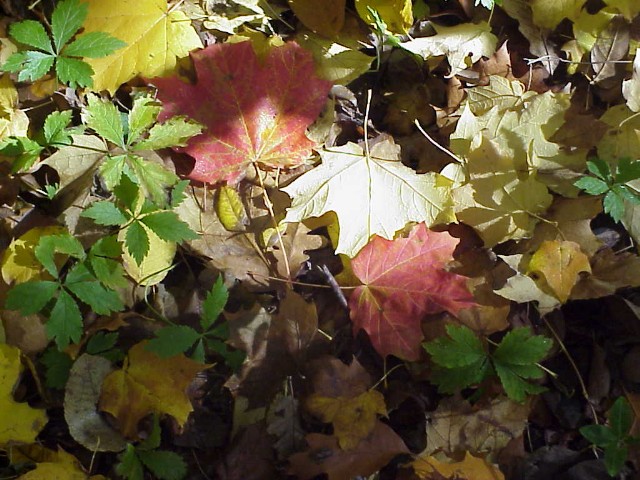
The Autumn Leaves.
Photo by Helen Mogill
Reflections of the sky in the creek.
Photo by Helen Mogill
The Bridge.
Photo by Helen Mogill
Indian Creek
Photo by Jim Russell
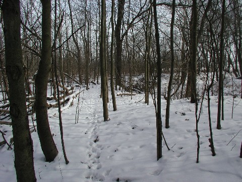
Deer trail through woods in winter.
Photo by Helen Mogill
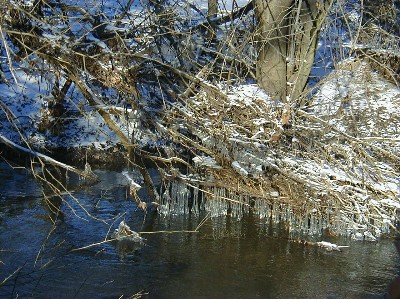
Ice shelves left after receding flood waters
Photo by Jim Russell
The bridge in winter.
Photo by Helen Mogill
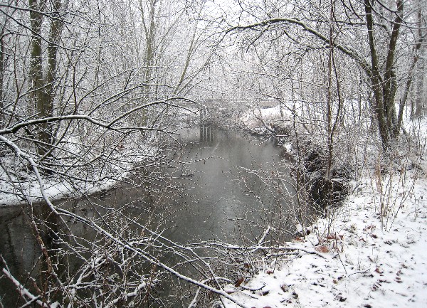
The creek in winter.
Photo by Helen Mogill
|
Home Burning Bylaws Covenants History Maps Newsletters Phones Septic Recycling Water Aerial Animals Birds Bluebells Fungi Gardens Invasives Pets Streets Trail Trees Wildflowers |
This page was last updated Wednesday February 15, 2012.
